Vol. 27, No. 11  ●  December 19, 2019

Expanding Our Horizons With A View From the Air

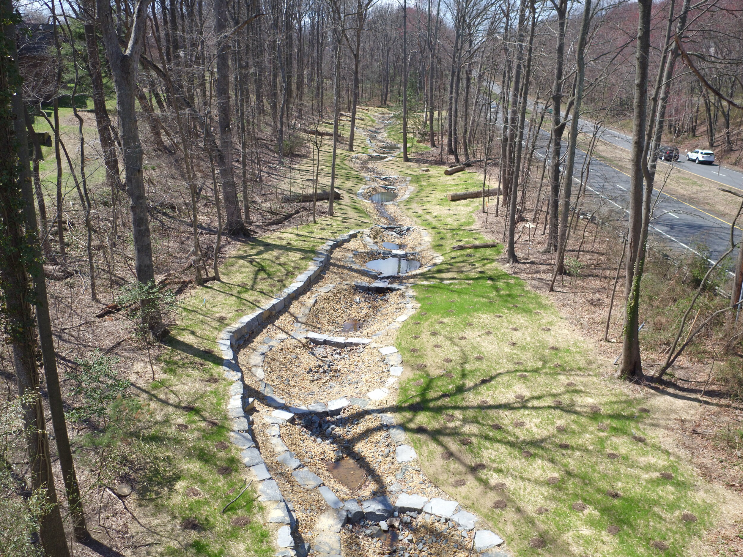
Wetland Studies and Solutions, Inc. (WSSI) continuously pursues innovative technologies to provide the best services and resources for our clients.  One of these new endeavors is the use of unmanned aerial vehicles (UAV) to bring new capabilities, efficiencies, and advantages to meet a wide range of project needs.

Our UAV (i.e., drone) services include

  • Surveys (as-builts, topographic)

  • Vegetation and wildlife surveys

  • Tree health inspections

  • Reality Capture

  • Training and Consultation

  • Photography

  • Videography

  • Inspections and monitoring: construction, encroachments, site maintenance, dam removal

  • Photogrammetry (topography, floodplain evaluation, 3D modeling)

To investigate how our drone services could benefit your projects, please contact John Cooke, Paul Szarowicz, or Jim Quirin.  

Our specialists can provide the following UAV and Reality Capture services on project sites throughout the Mid-Atlantic and beyond:

  • Drone video and photography services
  • Terrestrial panoramic photographs
  • Site monitoring
  • Real-time inspections to track construction progress
  • Cut/fill analysis on construction sites and quarries
  • Wildlife surveys (e.g., nests counts, vegetation and habitat analysis)
  • Survey-grade orthophotographs
  • Point cloud developed planimetric and topographic mapping
  • 3D virtual tours
  • Accurate UAV as-builts and existing conditions models for virtual design
  • Virtual spatial/collision analysis
  • LiDAR data analysis, manipulation, registration, and optimization
  • Point cloud creation, registration, and post-processing

  • Check out past issues in the Field Notes Archive.

    Reading someone else's copy of Field Notes?
    Click here to sign up for our mailing list.